

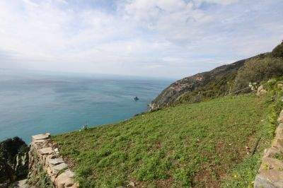
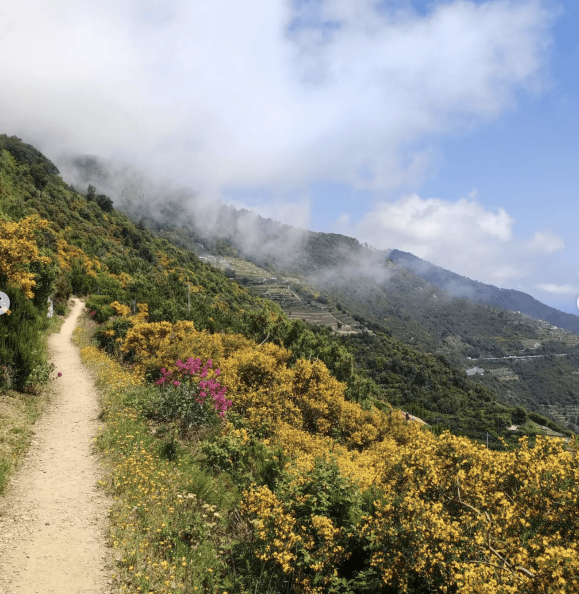
If you've already seen Cinque Terre from below, from the Sentiero Azzurro or the train, Campiglia shows it to you from another angle entirely: from a ridge, with the sea on both sides and the Apuan Alps on the horizon on clear days.
Where it is and why it's special
Campiglia is a hamlet of the Comune of La Spezia, perched on a ridge between the Gulf of Poets and the open sea of Cinque Terre. It's the junction point of several historic trails, including CAI Trail No. 1, Portovenere-Levanto (also known today as the Alta Via delle Cinque Terre or AV5T), which runs at higher altitude than the Sentiero Azzurro here and offers far wider views.
The work of Associazione Campiglia has been essential for years, maintaining trail markers and organising the local hiking network.
The trails, with real timings
The full route from Levanto to Campiglia takes about 11 hours, but almost no one does it in one go, and you don't need to: it can be broken into stages or walked only in part.
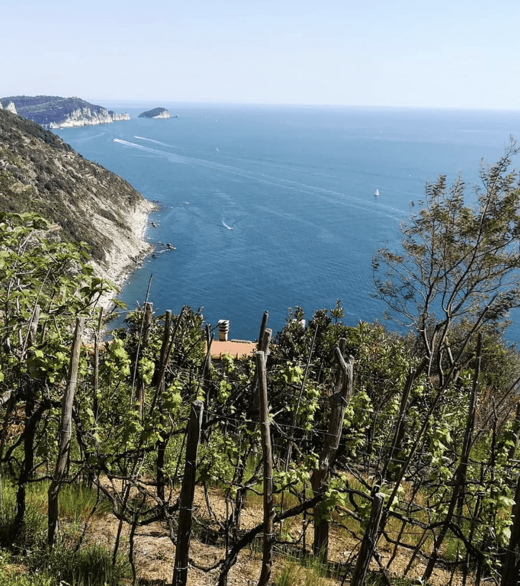
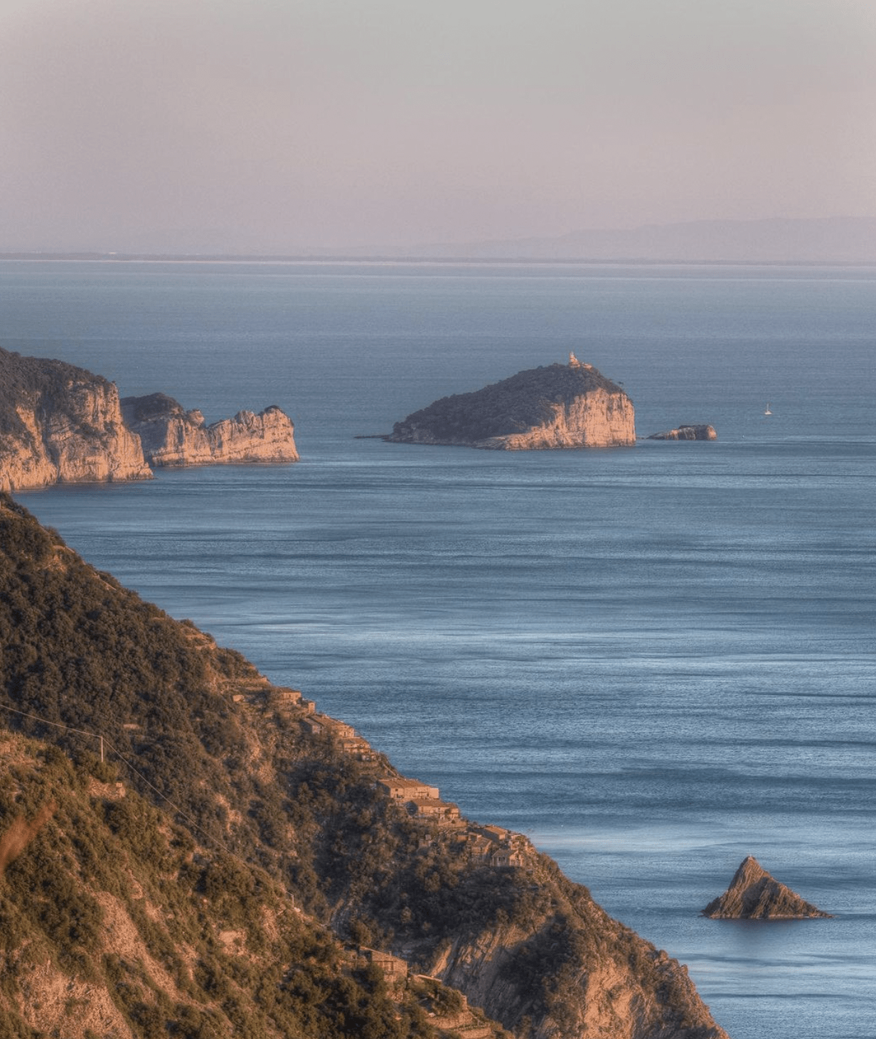
Campiglia to Portovenere (or the reverse): the best-known and most photographed stretch, about 4.7km, with roughly 450m of ascent (from Portovenere) or 50m (from Campiglia), taking 2 to 3 hours depending on direction and pace. It offers one of the finest views over Palmaria, Tino and, on clear days, all the way to Corsica.
Towards the Sanctuary of Montenero and Riomaggiore: you can take the train to Riomaggiore and walk only from the Sanctuary of Montenero, passing through Telegrafo, or do the route in reverse.
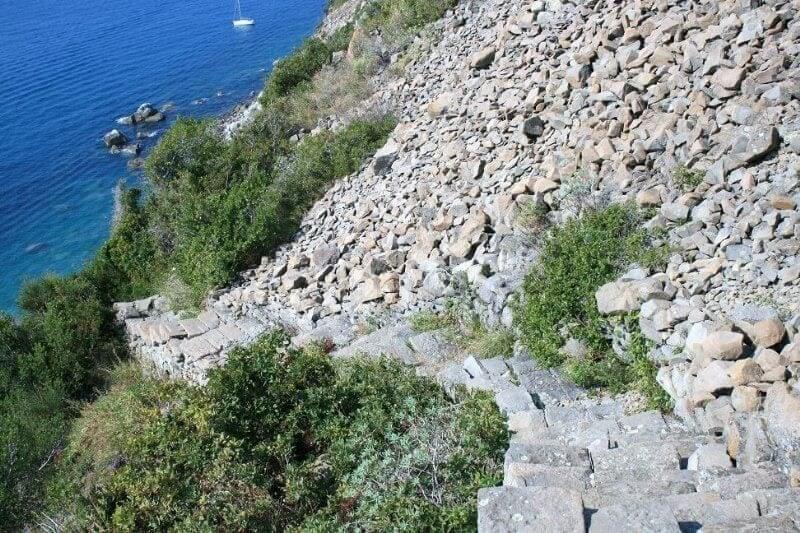
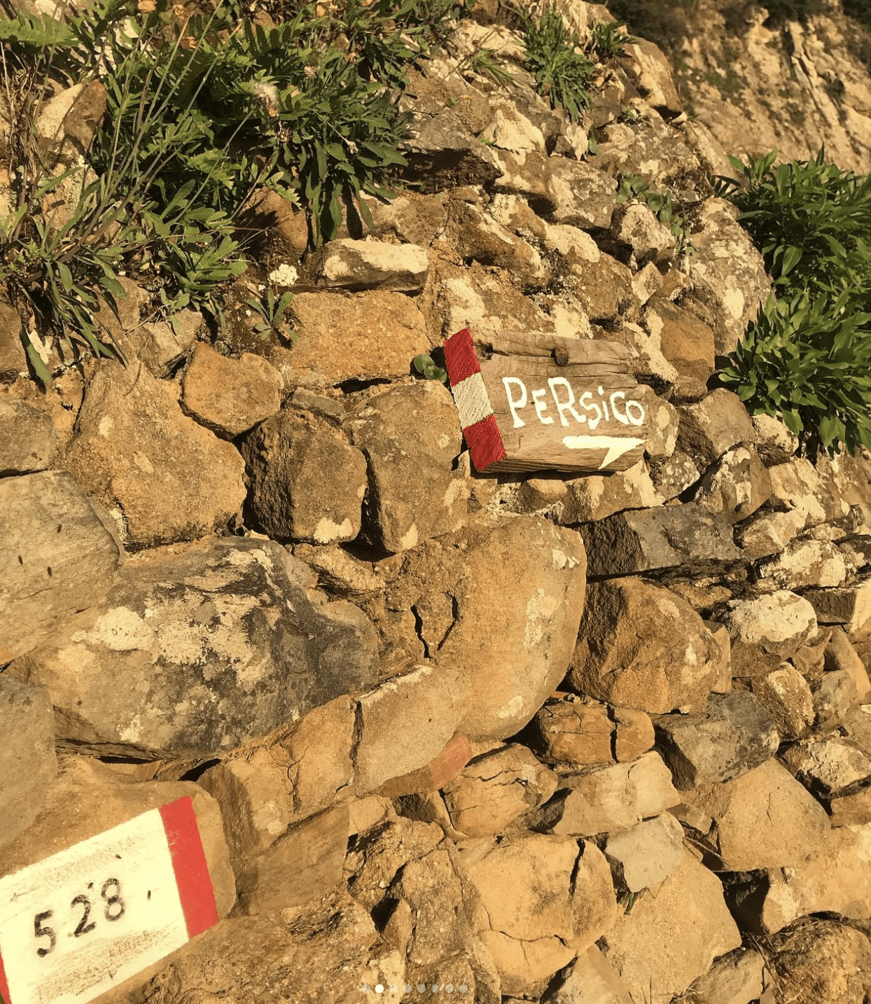
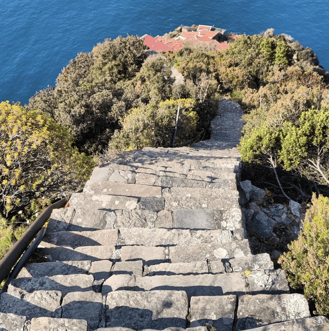
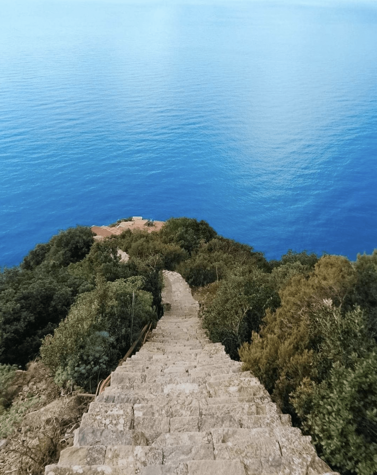
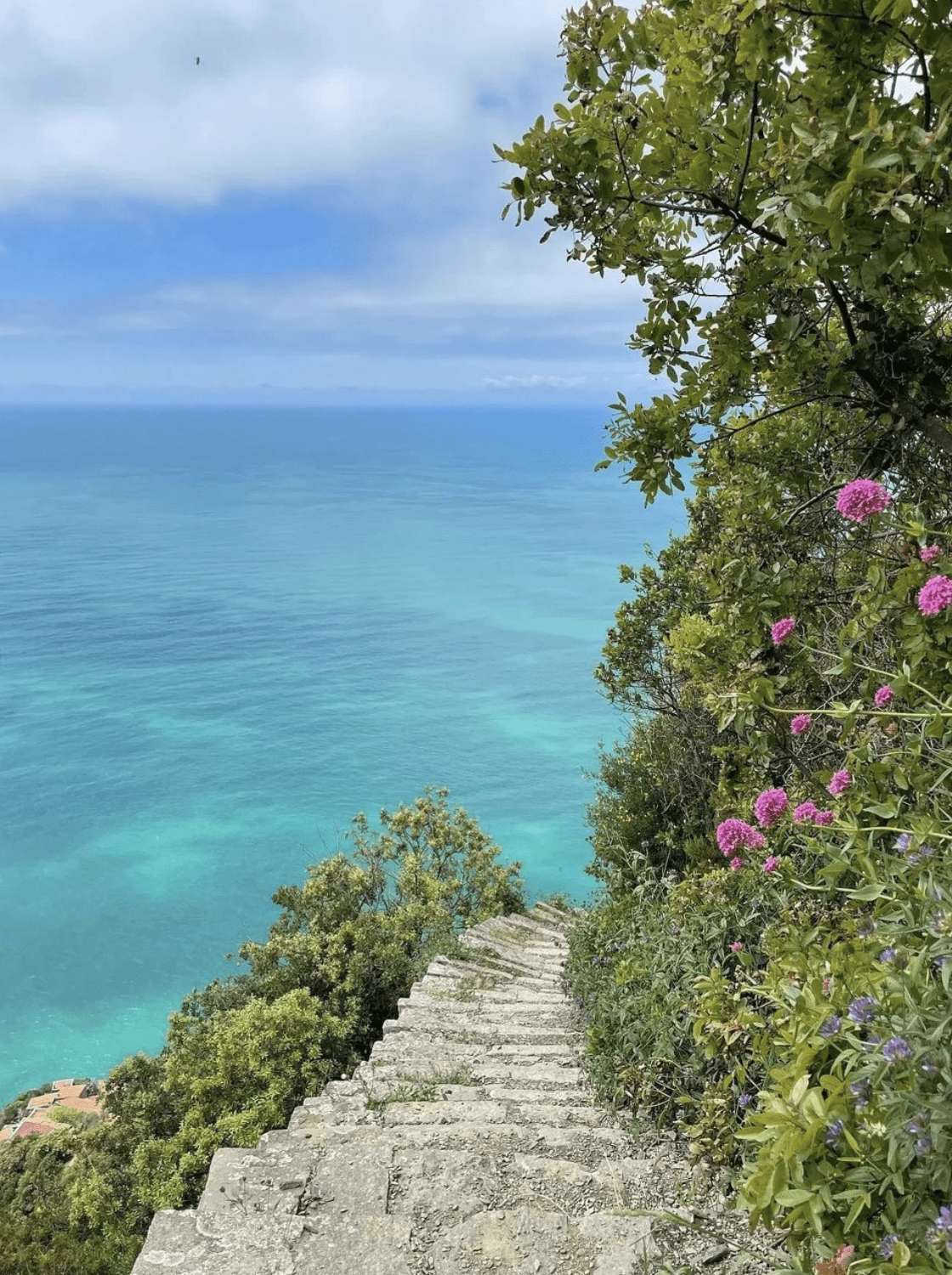
Towards Persico beach: a trail descends from Campiglia that's essentially a long stone stairway, past characteristic houses and remnants of old agricultural cableways, with views growing progressively rockier as you approach the beach. It's one of the more manageable descents to the sea between Riomaggiore and Portovenere, though the terrain becomes uneven closer to the bottom.
A practical tip, not just a scenic one: bring more water than you think you'll need. The middle stretch has decent shade cover, but both ends of the trail sit in full sun, and in summer you'll feel it. There's a water point near the church in Campiglia, useful for topping up halfway.
Good news on cost: these trails aren't part of the paid Cinque Terre circuit, so you don't need the Cinque Terre Card, walk as much of it as you like for free.

How to get there
By car from La Spezia: take the road to Porto Venere and turn right at Acquasanta. The village is about 6km away, and you can park along the road near the start of the trail.
By bus: to Campiglia, then walk only the last stretch towards Porto Venere.
On foot from Portovenere: starting from Piazza Bastreri, behind the castle, with a fairly steep climb through Mediterranean scrub in the first stretch.
If you want to walk it one-way without doubling back for your car, here's a trick from people who do it often: leave one car in Marola, near the Autedo restaurant on the La Spezia-Portovenere road, reach Campiglia with the second car, walk to Portovenere, and take the bus back to Marola to collect the first.

Why it's worth the climb
Beyond the logistics, what stays with you is the view: the village clinging to the ridge, open sea on one side and the Gulf of Poets on the other, and that late-day light that has made Tramonti di Campiglia one of the most photographed viewpoints anywhere south of the Cinque Terre.
For trail details before you set off, the official Tramonti di Campiglia page remains the most complete source.
Happy walking!
FAQ
Do I need the Cinque Terre Card to walk at Campiglia?
No. The trails in this area (Alta Via, Campiglia-Portovenere, Campiglia-Persico) are free and not part of the Park's paid circuit.
How long does it take from Campiglia to Portovenere on foot?
About 2 to 3 hours depending on direction and pace, over roughly 4.7km.
How do I get to Campiglia by car?
From La Spezia, follow the road to Porto Venere and turn right at Acquasanta, about 6km to the village.
Is there water along the route?
Yes, a water point near the church in Campiglia, but it's worth starting with a good supply, especially in summer, since most of the trail is exposed to direct sun.

